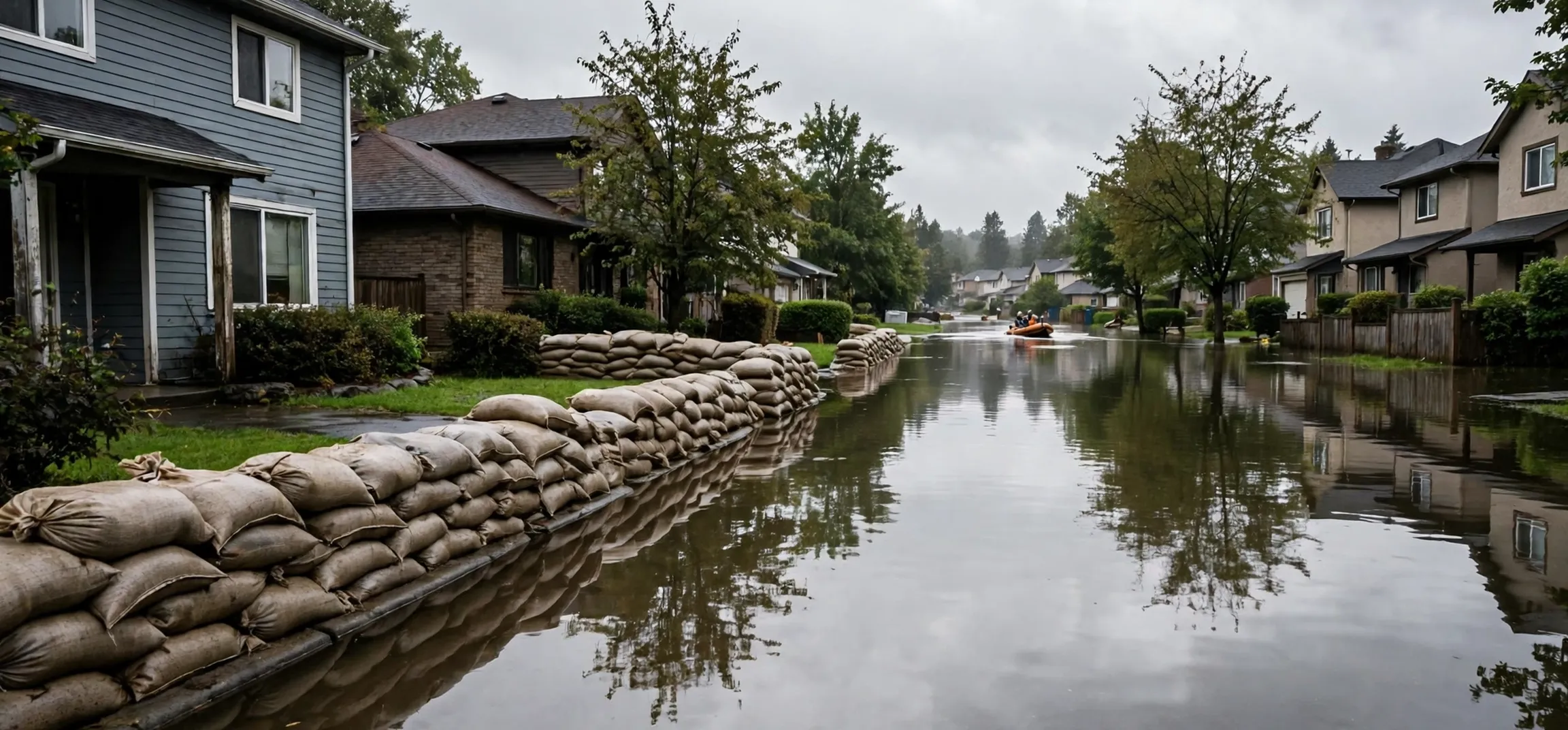
The question how does fema determine flood zones has a methodical answer: the Federal Emergency Management Agency studies how water actually behaves in an area — rainfall, rivers, coasts, drainage and ground elevation — and turns that science into Flood Insurance Rate Maps that show which land faces which level of flood risk. Understanding how does fema determine flood zones helps homeowners make sense of insurance requirements, property prices and building rules. This guide explains the study process step by step, the main zone types it produces, and how the maps can be challenged or changed.
Flood zones are not guesses or property-by-property judgements. They are the published output of engineering studies, and once you see how does fema determine flood zones in practice, the letters on a flood map (A, AE, VE, X) stop being mysterious and start being readable.
How Does FEMA Determine Flood Zones: The Study Process
The core of how does fema determine flood zones is the Flood Insurance Study, an engineering analysis carried out for a community or watershed, often with state, local and contracted engineering partners. Engineers gather data on terrain and elevation, rainfall records, river flows, tides and storm surge for coastal areas, and the behaviour of dams, levees and drainage systems. They then model the “base flood”: the flood that has a one-percent chance of being equalled or exceeded in any given year, sometimes called the 100-year flood.
From those models comes the Base Flood Elevation, the predicted height floodwater would reach in the base flood at a given point. How does fema determine flood zones from there? By comparing ground elevation with the base flood elevation across the landscape: land expected to be under water in the base flood falls inside the high-risk Special Flood Hazard Area, and the type of flooding (river, coastal, shallow ponding) decides the exact zone letter. The results are drawn as Flood Insurance Rate Maps, reviewed with the community, opened to public comment and appeal, and then adopted as the official maps used for insurance and building decisions.
| Zone | Meaning | Risk level |
|---|---|---|
| A / AE | Within the base flood area (river or lake flooding) | High |
| VE | Coastal area with storm-wave action in the base flood | High, with wave risk |
| AH / AO | Shallow flooding or ponding areas | High |
| X (shaded) | 0.2-percent annual chance (500-year) flood area | Moderate |
| X (unshaded) / C | Outside the mapped flood hazard areas | Lower (not zero) |
What the Zones Mean Once FEMA Determines Flood Zones
The zones matter because other systems key off them. If a property sits in the Special Flood Hazard Area (the A and V family of zones) and the owner has a federally backed mortgage, flood insurance is typically mandatory — that requirement flows directly from how does fema determine flood zones and where the lines fall. Building codes in participating communities also use the zones: new construction in high-risk areas usually must be elevated or flood-proofed to standards tied to the Base Flood Elevation.
Zone X deserves a careful reading. It means the modelled risk is lower, not absent: a meaningful share of flood claims historically comes from outside the high-risk zones, because the base flood is a statistical line, not a wall. So when people ask how does fema determine flood zones, the honest answer includes the caveat that the maps show probability bands, and water does not read maps. Prudent owners check their zone, their elevation and their own drainage experience together rather than relying on any single letter.
Checking Your Zone and Challenging the Map
Anyone can look up an address on FEMA’s Map Service Center, the official public viewer for the maps produced by how does fema determine flood zones. If the map looks wrong for your property — for example, your home sits on high ground within a mapped hazard area — the system provides routes to correct it. A Letter of Map Amendment (LOMA) asks FEMA to remove a property that is naturally above the base flood elevation; a Letter of Map Revision covers changes based on new data or physical changes such as fill. Both require elevation evidence, usually a surveyor’s elevation certificate.
Communities can also appeal during the adoption process when new maps are proposed, submitting better scientific or technical data. This public side of how does fema determine flood zones is deliberate: local knowledge and newer surveys genuinely improve the maps, and FEMA’s process expects corrections. Property owners should remember, though, that a successful map change affects insurance requirements going forward; it does not rewrite the underlying physical risk, which is worth weighing before dropping coverage voluntarily.
Why the Answer to How Does FEMA Determine Flood Zones Keeps Evolving
Flood maps age. Development paves over absorbent ground and changes drainage, levees are built or fail accreditation, new elevation data (such as modern laser-based surveys) replaces old measurements, and rainfall patterns shift. That is why the programme behind how does fema determine flood zones continually restudies areas and issues updated maps, sometimes moving properties into or out of high-risk zones years after they were built. A property’s zone is therefore a current assessment, not a permanent label.
For buyers and sellers, the lesson of how does fema determine flood zones is practical: check the current official map, not the seller’s memory; ask about elevation relative to the base flood; and budget insurance based on the zone and the building’s height, which increasingly drives the price. Understanding the engineering behind the letters turns flood maps from a bureaucratic surprise into readable information — which is exactly what the system behind how does fema determine flood zones is designed to provide.
Flood Zones and Home-Buying Decisions
For buyers, the zone letter on a listing should trigger questions, not panic. Ask for the property’s elevation relative to the base flood elevation if an elevation certificate exists, because two houses in the same zone can carry very different risk and very different insurance costs if one sits a metre above the predicted water level and the other sits below it. Modern flood-insurance pricing increasingly prices that individual elevation and distance-to-water picture rather than the zone alone, so the certificate is one of the most valuable documents a seller can hand over, and one of the smartest things a buyer can commission when it is missing.
Sellers, in turn, are generally required to disclose known flood history and, in many places, whether the property lies in a mapped hazard area. A clean, current map printout and an elevation certificate in the sales pack can reassure buyers far more than a verbal “it has never flooded here”. Insurance agents can quote both the current owner’s situation and a buyer’s likely premium in advance, turning the zone from a late surprise at contract stage into a budgeted line item from the start.
The Community’s Role in the System
Flood mapping is not something done to communities from a distance; it runs through them. The National Flood Insurance Program works with participating communities, which adopt and enforce floodplain rules — elevation standards for new buildings, limits on development in the riskiest channels — in exchange for residents being able to buy federal flood insurance. Local officials hold the detailed knowledge the national studies need: which underpass floods first, which creek has changed course, where new development has altered drainage. Public meetings during a map update are where that knowledge enters the official record.
This partnership explains the system’s deliberate pace. A map that will set insurance requirements and building rules for thousands of households has to survive scientific scrutiny, public comment and legal appeal before it takes effect, and each of those stages catches genuine errors. Frustrating as the timeline can be when you are mid-purchase, it is the same process that lets a homeowner with a good survey get a property removed from a hazard area without hiring a lawyer. The maps are bureaucratic because the stakes — homes, mortgages and safety — are not.
Frequently Asked Questions
How does fema determine flood zones in simple terms? Engineers model the one-percent-annual-chance (base) flood for an area, calculate how high water would rise, and map the land that would be flooded. That study is the core of how does fema determine flood zones.
What is the Special Flood Hazard Area? The land inside the base flood boundary, shown as A and V zones, where flood insurance is typically mandatory for federally backed mortgages. It is the high-risk output of how does fema determine flood zones.
Can a flood zone designation be changed? Yes. Owners can seek a Letter of Map Amendment with elevation evidence, and communities can appeal proposed maps with better data — a built-in part of how does fema determine flood zones.
Does Zone X mean no flood risk? No. It means lower modelled risk. Claims still occur outside the high-risk zones, which is why understanding how flood zones are set (probabilities, not guarantees) matters.
Conclusion
So, how does FEMA set its flood zones? Through engineering studies that model the base flood, set Base Flood Elevations, and map risk into zones that drive insurance and building rules — with public review, appeals and updates built into the process. Read your zone as a probability statement, verify it on the official map viewer, and you will understand your property’s flood position far better than the letter alone suggests.
Related reading: our explainer on the meaning of flooding in a dream, our list of hurricane names, and our guide to how to find out homeowners insurance by address.