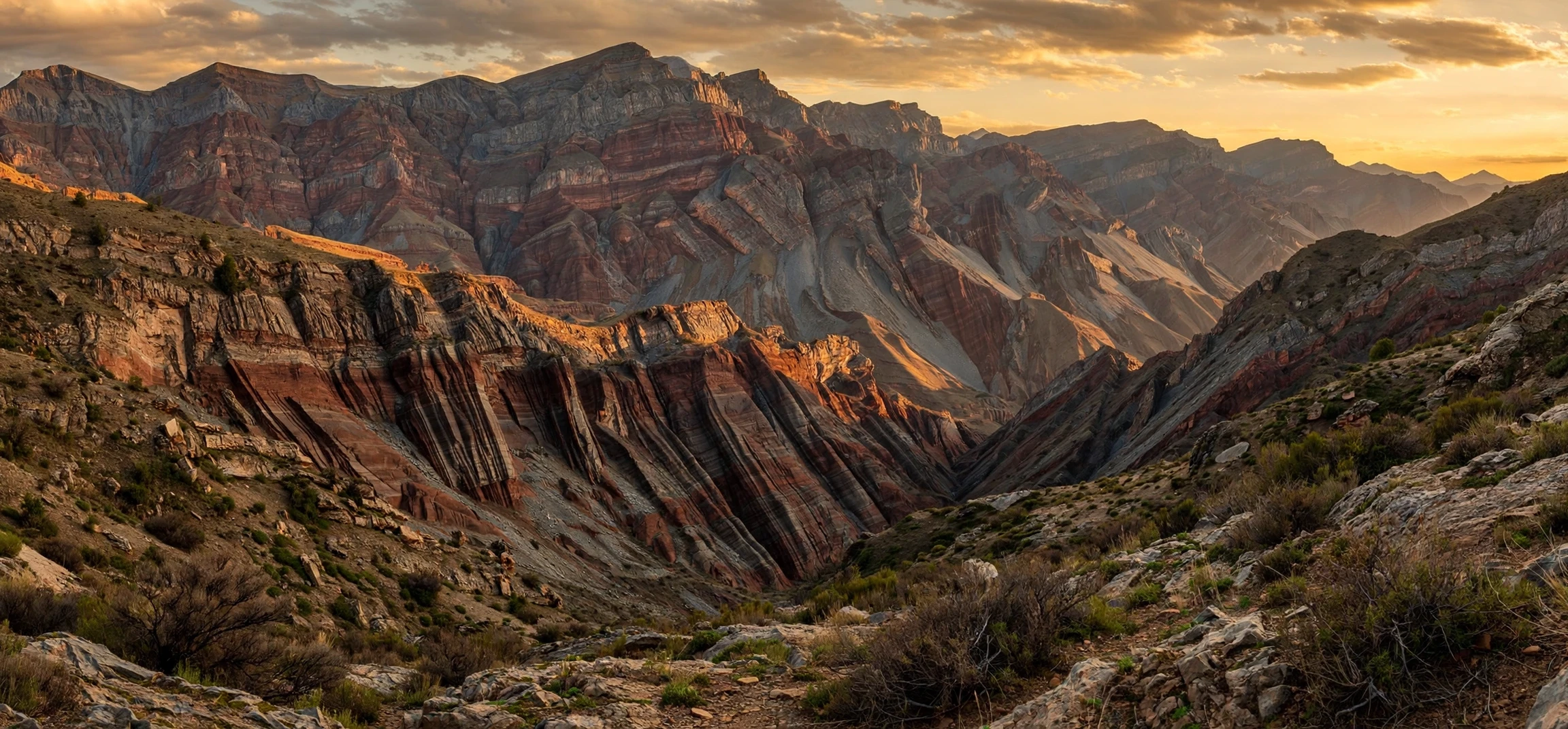
A clear continental plate definition is the best starting point for anyone studying geography, geology or earth science, because so much of the planet’s surface makes sense once you understand it. In simple terms, a continental plate definition describes a large, thick slab of the Earth’s outer layer that carries a continent, or part of a continent, and moves very slowly over the hotter, weaker layer beneath it. These slabs are pieces of the lithosphere, the rigid outer shell of the Earth, and their slow movement over millions of years shapes mountains, oceans, earthquakes and volcanoes. This guide gives a precise continental plate definition, explains how continental plates differ from oceanic plates, names the major plates, and shows why plate movement matters in everyday geography.
The idea can feel abstract at first, because the movement is far too slow to notice in a human lifetime. A plate may move only a few centimetres per year, roughly as fast as your fingernails grow. Over geological time, however, those centimetres add up to thousands of kilometres, which is how continents drift apart, collide and reshape the map. Once you hold a solid continental plate definition in mind, topics such as mountain building, the distribution of fossils and the location of earthquake zones become much easier to understand.
Continental Plate Definition Explained
The standard continental plate definition used in school and university geography is this: a continental plate is a section of lithosphere made mainly of continental crust, which is thicker, older and less dense than oceanic crust, and which moves as a single rigid unit over the asthenosphere below. Continental crust is typically 30 to 50 kilometres thick, and much thicker beneath high mountain ranges, whereas oceanic crust is usually only about 5 to 10 kilometres thick. Because continental crust is less dense, it floats higher on the mantle, which is why continents stand above sea level while ocean basins sit lower.
It is important to note that the phrase “continental plate” is sometimes used loosely. Strictly speaking, most tectonic plates contain both continental and oceanic crust. The Pacific Plate, for example, is mostly oceanic, while the Eurasian Plate carries both a large continent and parts of surrounding oceans. When geographers talk about a continental plate, they usually mean a plate that carries a significant area of continental crust, or the continental portion of a larger plate. A careful continental plate definition therefore mentions both the crust type and the behaviour: a rigid slab that moves, carries continental material, and interacts with neighbouring plates at its boundaries.
The lithosphere itself is broken into a small number of major plates and many smaller ones. Beneath the lithosphere lies the asthenosphere, a layer of hot mantle rock that can flow very slowly over long timescales. The lithosphere does not slide freely like ice on water; it is dragged and pushed by forces inside the Earth, including convection in the mantle, the push of new crust forming at mid-ocean ridges, and the pull of old, dense oceanic crust sinking back into the mantle at subduction zones. Those forces keep the plates in slow, constant motion.
Continental Plate Definition and Oceanic Plates Compared
Comparing continental and oceanic plates makes any continental plate definition sharper. Continental crust is largely made of granitic rock, rich in silica and aluminium, which is why it is sometimes called sial. Oceanic crust is largely basaltic, richer in silica and magnesium, and is sometimes called sima. Continental crust is also much older: some continental rocks are more than four billion years old, while no oceanic crust is older than about 200 million years, because oceanic crust is constantly created at ridges and destroyed at subduction zones. Continental crust, being buoyant, is rarely subducted in full; instead, when two continental plates collide, they crumple upwards into mountains.
This difference in density and behaviour explains a great deal of the Earth’s geography. When an oceanic plate meets a continental plate, the denser oceanic plate usually sinks beneath the continental plate, forming a deep ocean trench offshore and a line of volcanoes inland, as seen along the western edge of South America. When two oceanic plates meet, one sinks and island volcanoes may form. When two continental plates meet, neither sinks easily, so the crust thickens and folds into great mountain ranges such as the Himalayas, which are still rising as India pushes into Asia. Each of these settings is a direct consequence of the continental plate definition and the contrasting properties of the two crust types.
| Feature | Continental crust | Oceanic crust |
|---|---|---|
| Typical thickness | 30 to 50 kilometres | 5 to 10 kilometres |
| Main rock type | Granitic | Basaltic |
| Density | Lower, more buoyant | Higher, more dense |
| Typical age | Up to billions of years | Less than about 200 million years |
| What happens at a collision | Crumples into mountains | Often subducts into the mantle |
The Major Continental Plates and Their Names
Any useful continental plate definition should be followed by the names students are expected to know. The seven generally recognised major plates are the African Plate, the Antarctic Plate, the Eurasian Plate, the Indo-Australian Plate (often split into the Indian and Australian Plates in modern treatments), the North American Plate, the Pacific Plate and the South American Plate. Of these, the Pacific Plate is the largest and is mostly oceanic, while the others all carry substantial continental crust. The African, Eurasian, North American and South American Plates are the clearest examples of plates carrying whole continents.
Beyond the major plates, there are many minor plates that matter regionally. The Arabian Plate carries the Arabian Peninsula, the Nazca Plate lies off the west coast of South America, the Cocos Plate sits off Central America, the Caribbean Plate underlies the Caribbean Sea and surrounding land, the Philippine Sea Plate covers much of the western Pacific, and the Juan de Fuca Plate is a small remnant off the north-west coast of North America. Minor plates are smaller, but they can be responsible for major earthquakes and volcanic activity, so they feature prominently in regional geography.
Learning plate names is easier when you associate each plate with its boundaries. The North American Plate, for example, meets the Pacific Plate along the San Andreas Fault system in California, where the two plates slide past each other. The Eurasian Plate meets the African Plate in the Mediterranean, a zone of complex collision that has built the Alps and continues to generate earthquakes in southern Europe and North Africa. The Indo-Australian Plate meets the Eurasian Plate in the Himalayan region, the most dramatic continental collision on Earth today. Drawing these boundaries on a blank map, from memory, is one of the best revision exercises for this topic.
Why the Indo-Australian Plate is often split in two
Modern research treats the Indian and Australian Plates as increasingly separate, because measurements show they are moving at slightly different rates and in slightly different directions, with a diffuse zone of deformation between them in the Indian Ocean. Textbooks differ on whether to list seven or eight major plates for this reason. For most school purposes, either “Indo-Australian Plate” or “Indian Plate and Australian Plate” is acceptable, provided you explain the point. This is a good reminder that a continental plate definition is a model of a complex reality, and models are refined as new measurements arrive.
Continental Plate Definition: What Happens at Plate Boundaries
Plate boundaries are where the action happens, and a complete continental plate definition must include them. There are three main types. At a constructive, or divergent, boundary, plates move apart and new crust forms, most famously at mid-ocean ridges, but also in continental rift valleys such as the East African Rift, where Africa is slowly splitting apart. At a destructive, or convergent, boundary, plates move together, and one may sink or both may crumple. At a conservative, or transform, boundary, plates slide past each other sideways, building up stress that is released as earthquakes.
Each boundary type produces a characteristic landscape and hazard pattern. Divergent boundaries on land create rift valleys, volcanic fields and, eventually, new ocean basins. Convergent boundaries create ocean trenches, coastal mountain ranges, fold mountains and volcanic arcs. Transform boundaries create fault lines and earthquake zones without much volcanic activity. If you can match a place on Earth to its boundary type, you can often predict its main hazards, which is why plate tectonics is so central to hazard geography and to planning in earthquake-prone regions.
For readers who enjoy building precise definitions in other subjects, our explainer on the mean definition in mathematics shows a similar approach: start with a plain-language definition, then test it against examples. The habit of defining a term first and applying it second works just as well in geography as it does in mathematics.
Continental Plate Definition: The Evidence Behind It
The theory of plate tectonics was not accepted overnight. It grew from the earlier idea of continental drift, proposed by Alfred Wegener in 1912, who noticed that the coastlines of South America and Africa fit together, that identical fossil species appear on continents now separated by oceans, and that matching rock sequences and glacial deposits occur in places that are now in very different climates. Wegener lacked a convincing mechanism for how continents could move, so his idea was widely rejected during his lifetime.
The mechanism emerged in the 1950s and 1960s with the discovery of seafloor spreading. Surveys of the ocean floor revealed mid-ocean ridges, symmetrical patterns of magnetic stripes in oceanic crust, and the young age of the seafloor. Together with the global distribution of earthquakes and volcanoes, which cluster along narrow belts rather than being scattered randomly, these findings showed that the outer Earth is divided into moving plates. Modern GPS measurements now track plate motion directly, confirming rates of a few centimetres per year. A modern continental plate definition therefore rests on a convergence of evidence: fossil and rock matching, magnetic patterns, seismic activity and satellite measurement all point the same way.
This history is worth teaching alongside the definition, because it shows how science works. A good idea with incomplete evidence can wait decades for the measurements that confirm it, and a theory can be refined, as with the splitting of the Indo-Australian Plate, without being abandoned. Students who understand that process are better equipped to evaluate new scientific claims in any field.
Why a Continental Plate Definition Matters Beyond the Classroom
Plate movement shapes the world in practical ways. Mountain ranges formed by continental collision influence climate, because they force moist air to rise, cool and drop rain on one side while creating a rain shadow on the other. The position of continents over geological time has determined where coal, oil and mineral deposits formed, which in turn shapes economies today. The distribution of earthquakes and volcanoes follows plate boundaries, so hazard maps, building codes and insurance models all depend on plate knowledge. Even the long-term carbon cycle, which regulates climate over millions of years, is tied to plate processes such as weathering of mountain rocks and volcanic outgassing.
On a human timescale, the most visible consequence is hazard. Cities such as Tokyo, Jakarta, Istanbul and San Francisco sit near active boundaries, and their planning, engineering and emergency preparedness all start from plate geography. Understanding a continental plate definition is therefore not just an exam requirement; it is the foundation for understanding why some places shake, why some regions have fertile volcanic soils, and why the map of the world will look different in a hundred million years, even though it barely changes in a human lifetime.
Geography also connects to the wider habit of naming and defining places carefully. Our guide to the meaning of the name Angelica is a different kind of naming guide, but it shares the same principle: a name is more useful when you know its origin and context. The same applies to plates: “Eurasian Plate” is only useful once you know which continent it carries and which neighbours it pushes against.
Frequently Asked Questions
What is the simplest continental plate definition?
A continental plate is a large, rigid slab of the Earth’s lithosphere that carries continental crust and moves slowly over the asthenosphere. The continental plate definition always includes the slab, the crust type and the movement.
Are continents and plates the same thing?
No. A continent is a large landmass, while a plate is a slab of lithosphere that may carry a continent, part of a continent, ocean floor, or both. Most plates carry a mixture of continental and oceanic crust.
How fast do continental plates move?
Typically a few centimetres per year, comparable to the rate at which fingernails grow. Over millions of years this adds up to thousands of kilometres of movement.
Why do continental plates not sink like oceanic plates?
Continental crust is thicker and less dense than oceanic crust, so it is buoyant and resists subduction. When two continental plates collide, they tend to crumple into mountains instead of one sinking beneath the other.
How many continental plates are there?
There are seven generally recognised major plates, several of which carry continents, plus many minor plates. Modern treatments sometimes split the Indo-Australian Plate into Indian and Australian Plates, making eight major plates.
Conclusion
A sound continental plate definition is short enough to remember and precise enough to use: a large, thick, rigid slab of lithosphere, made mainly of buoyant continental crust, that moves slowly over the asthenosphere and interacts with neighbouring plates at its boundaries. From that definition, the rest of plate geography follows naturally: the contrast with dense, thin oceanic crust; the three boundary types and their landscapes; the names of the major and minor plates; and the evidence, from fossils and magnetic stripes to GPS, that confirms the theory. Whether you are revising for an exam, teaching the topic or simply curious about why mountains and earthquakes occur where they do, start with the definition, learn the boundaries, and the map of the Earth will begin to make sense.