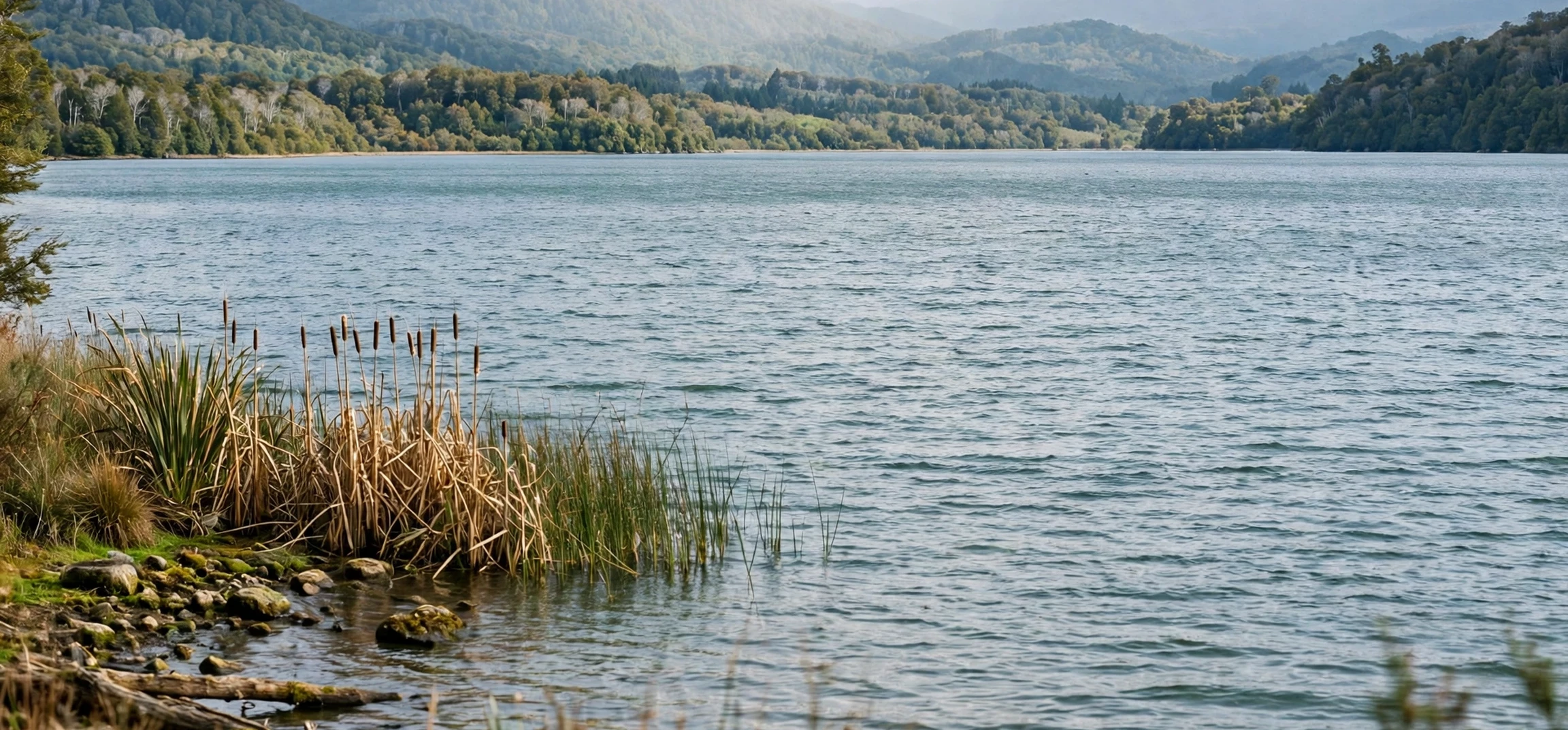
To answer the question directly, name the five great lakes. The five Great Lakes are Superior, Michigan, Huron, Erie, and Ontario. Together they form the largest group of freshwater lakes in the world by total surface area, and they sit on the border between the United States and Canada in North America. This guide explains each lake, how to remember their names, where they are located, and why they matter for geography, weather, transport, and wildlife.
The Great Lakes were shaped by glaciers during the last Ice Age. As huge ice sheets moved, melted, and retreated, they carved deep basins that later filled with water. Today the lakes are connected by rivers and channels, and water flows generally from west to east, eventually reaching the Atlantic Ocean through the St. Lawrence River. That connected system is sometimes called the Great Lakes-St. Lawrence system, and it has shaped settlement, trade, and industry across the region for centuries.
Quick Answer: name the five great lakes.
When a teacher, quiz, or geography test asks you to name the five great lakes., the expected answer is a simple list: Superior, Michigan, Huron, Erie, and Ontario. A popular memory aid uses the first letters to spell HOMES: Huron, Ontario, Michigan, Erie, and Superior. Another way to remember them is by location, from west to east: Superior, Michigan, Huron, Erie, and Ontario. Both methods give the same five names, so choose the one that feels easiest to recall under pressure.
It also helps to remember one distinctive fact about each lake. Superior is the largest and deepest. Michigan is the only Great Lake located entirely within the United States. Huron has the longest shoreline, partly because it contains many islands. Erie is the shallowest, which makes it warm up and cool down more quickly. Ontario is the smallest by surface area, but it is still a very large lake and the final lake in the chain before the St. Lawrence River.
Why are they called Great Lakes?
They are called great because of their size. Individually, several of them rank among the largest freshwater lakes in the world, and together they hold a huge share of the world’s surface fresh water. Their size affects weather, shipping, fishing, and city life around their shores. In many places, standing on a Great Lakes beach feels like standing beside a sea, because the far shore may be out of sight and waves can be large during storms.
Lake Superior: The Largest and Deepest
Lake Superior is the westernmost Great Lake and the largest by surface area and volume. It borders the US states of Minnesota, Wisconsin, and Michigan, and the Canadian province of Ontario. Superior is known for cold, clear water, rocky shores, and dramatic weather. Its depth and size mean that it stores heat and cold for long periods, which influences local climate and lake-effect snow in nearby areas.
Superior is also important for shipping and natural beauty. Ports on its shores handle bulk cargo, while national and state parks protect forests, cliffs, and islands. Isle Royale, a large island in the lake, is known for wilderness, hiking, and wildlife study. For geography learners, Superior is a good starting point, because it shows how a lake can function almost like an inland sea.
Lake Michigan: The Only Lake Entirely in the United States
Lake Michigan lies south of Superior and is the only Great Lake located entirely within the United States. It borders Wisconsin, Illinois, Indiana, and Michigan. Major cities on its shores include Chicago and Milwaukee, which makes it one of the most urbanised Great Lakes. Its beaches, dunes, and harbour towns attract visitors throughout the year, especially in summer.
Unlike the other Great Lakes, Michigan does not share a border with Canada. It connects to Lake Huron through the Straits of Mackinac, a narrow waterway between Michigan’s Upper and Lower Peninsulas. That connection means that Michigan and Huron are sometimes treated as a single hydrological system, because water levels in the two lakes rise and fall together. For a simple quiz answer, however, they remain two separate named lakes.
Lake Huron: Islands, Bays, and a Long Shoreline
Lake Huron is the second-largest Great Lake by surface area and is known for its long, irregular shoreline. It borders Michigan in the United States and Ontario in Canada. Its most famous feature is Georgian Bay, a large bay on its eastern side, and Manitoulin Island, the largest freshwater island in the world. These features give Huron a complex shape that looks very different from the smoother outlines of Erie or Ontario.
Huron has a long history of shipping, fishing, and lakeside communities. Its waters connect westward to Michigan and eastward to Erie through the St. Clair River, Lake St. Clair, and the Detroit River. That route is part of the busy shipping corridor that links the upper lakes to the lower lakes. Students often remember Huron by its islands: if a Great Lakes question mentions islands, Huron is a strong candidate.
Lake Erie: The Shallowest and Warmest in Summer
Lake Erie is the southernmost Great Lake and the shallowest of the five. It borders Michigan, Ohio, Pennsylvania, and New York in the United States, and Ontario in Canada. Because it is shallow, Erie warms up quickly in summer and cools quickly in winter. That trait affects swimming, fishing, algae growth, and ice cover, and it makes Erie more sensitive to seasonal weather changes than deeper lakes.
Erie is also a major shipping and industrial lake, with large port cities such as Cleveland, Buffalo, and Toledo nearby. Its southern shore has long supported manufacturing, agriculture, and transport, while its northern shore supports farming and lakeside towns in Ontario. Niagara Falls sits downstream from Erie, where water flows from Lake Erie into Lake Ontario through the Niagara River. That famous waterfall is a reminder that the Great Lakes are not isolated; they are a connected system with real elevation changes.
Lake Ontario: The Final Lake in the Chain
Lake Ontario is the smallest Great Lake by surface area and the easternmost in the chain. It borders New York in the United States and Ontario in Canada. Major cities on its shores include Toronto, Rochester, and Kingston. Despite being smallest, Ontario is still deep in places and plays a key role in shipping, drinking water, recreation, and hydroelectric power.
Water reaches Ontario from Erie through the Niagara River, then leaves Ontario through the St. Lawrence River toward the Atlantic Ocean. The St. Lawrence Seaway, a system of locks and channels, allows large ships to travel between the Atlantic and the Great Lakes, although the largest ocean vessels cannot reach the upper lakes. Ontario therefore acts as a gateway: it is where the inland lake system meets the ocean route.
| Lake | West-to-east order | Key fact to remember |
|---|---|---|
| Superior | 1st | Largest and deepest |
| Michigan | 2nd | Only lake entirely in the United States |
| Huron | 3rd | Longest shoreline and many islands |
| Erie | 4th | Shallowest, warms quickly in summer |
| Ontario | 5th | Smallest by area, gateway to the St. Lawrence |
How to Remember and Use the Names
The HOMES memory aid is the most popular method: H for Huron, O for Ontario, M for Michigan, E for Erie, and S for Superior. It does not put the lakes in geographic order, but it gives a quick check that you have all five. If you need geographic order, learn the west-to-east chain instead: Superior, Michigan, Huron, Erie, Ontario. Drawing a simple map from memory is also useful. Sketch the lakes in a rough chain, label each one, and add the border between the United States and Canada. Even a rough sketch helps, because it forces you to place each lake relative to the others.
Another helpful method is to link each lake to a place you know. Superior links to Duluth and cold northern shores. Michigan links to Chicago. Huron links to Manitoulin Island. Erie links to Cleveland and Niagara Falls. Ontario links to Toronto. Those associations give each name a location, a city, or a landmark, which makes recall easier than memorising a bare list.
Common mistakes to avoid
One common mistake is to include Lake St. Clair as a sixth Great Lake. Lake St. Clair is a smaller lake between Huron and Erie, and it is part of the connecting waterway, but it is not counted among the five Great Lakes. Another mistake is to confuse Lake Michigan with the state of Michigan, or to assume that all five lakes touch both countries. Only Michigan is entirely within the United States, while the other four are shared with Canada. A third mistake is to mix up Erie and Ontario: Erie is upstream and shallower, while Ontario is downstream and is the final lake before the St. Lawrence River.
Why the Great Lakes Matter
The Great Lakes matter for drinking water, transport, weather, wildlife, and recreation. Millions of people depend on them for drinking water, and many industries use lake water for manufacturing and power generation. Shipping on the lakes moves grain, iron ore, coal, and other bulk goods, which supports jobs in port cities. Fishing, boating, beaches, and lakeside tourism support local economies and outdoor life.
The lakes also shape weather. In winter, cold air passing over relatively warm lake water can produce lake-effect snow, especially downwind of the lakes. In summer, lake breezes can cool shoreline cities. Ecologically, the lakes support fish, birds, wetlands, and forests, but they also face challenges such as invasive species, pollution, and changing water levels. Geography education therefore connects the lakes to wider topics: climate, trade, ecology, and human settlement.
How to name the five great lakes. in a Test
If a test asks you to name the five great lakes., write the full list clearly and in a sensible order. A safe answer is: Superior, Michigan, Huron, Erie, and Ontario. If the question asks for west-to-east order, use that same order. If it asks only for names, the HOMES order is also acceptable, but west-to-east order shows geographic understanding and is less likely to confuse a marker. Add a short note about location if the question allows it, such as stating that Michigan is entirely in the United States and the other four are shared with Canada. That extra detail can earn credit in longer geography answers.
For classroom revision, practise three ways: list the names from memory, label a blank map, and explain one fact about each lake. That combination tests recall, location, and understanding, which is what most geography assessments reward. If you forget one name, use HOMES to check which letter is missing, then think of its location to confirm it.
Frequently Asked Questions
What are the five Great Lakes?
The five Great Lakes are Superior, Michigan, Huron, Erie, and Ontario. They are located in North America on the border between the United States and Canada.
Which Great Lake is the largest?
Lake Superior is the largest by surface area and volume, and it is also the deepest of the five Great Lakes.
Which Great Lake is entirely in the United States?
Lake Michigan is the only Great Lake located entirely within the United States. The other four are shared between the United States and Canada.
What is the HOMES memory aid?
HOMES uses the first letters of Huron, Ontario, Michigan, Erie, and Superior. It is a quick way to check that you have remembered all five names, even though it does not list them in geographic order.
Conclusion
To name the five great lakes., remember Superior, Michigan, Huron, Erie, and Ontario. From west to east, they form a connected freshwater system shaped by glaciers, linked by rivers and channels, and shared by the United States and Canada. Each lake has a distinct character: Superior is vast and deep, Michigan is entirely American, Huron is island-rich, Erie is shallow and changeable, and Ontario is the gateway to the St. Lawrence River. Learn the HOMES aid, practise the west-to-east order, and link each lake to a city or landmark, and the names will stay with you far beyond a single test. For related geography guides, see Columbia River fishing guides, Names of water dinosaurs, and Canada address lookup guide.