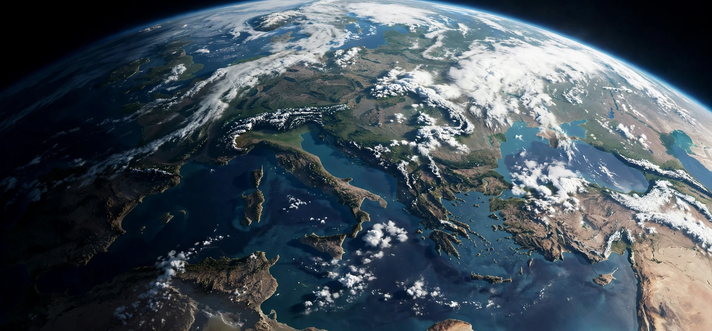
When people search for the first ever photo of earth, they are usually asking a simple question with a surprisingly layered answer: what is the earliest photograph ever taken of our planet from beyond its surface, and what did it show? The widely credited answer is a black-and-white image taken on October 24, 1946, by a camera carried aboard a V-2 rocket launched from White Sands in New Mexico. That photograph, taken from about 65 miles above the ground, showed the curvature of the Earth against the blackness of space, and it was the first time human beings had seen their home planet from that height in a photograph. In this guide, we trace the first ever photo of earth from that 1946 rocket flight through the famous Earthrise and Blue Marble images that followed, explaining what each picture showed, why it mattered, and how the technology changed along the way.
The extra words sometimes attached to this search phrase in online suggestions, including energetic-sounding suffixes, are not part of the history and do not describe a special version of the photograph. This is a plain historical and scientific overview, written as text, and it treats the search phrase honestly as the question people type when they want to know about the earliest Earth photograph. There is no hype, no special edition, and no hidden footage to unlock here, only the documented record of rockets, cameras, astronauts, and the images they brought back. That record is fascinating enough on its own, because it moves in a few decades from a grainy rocket photograph to full-colour portraits of the whole planet that changed how people thought about Earth.
The First Ever Photo of Earth in 1946
The first ever photo of earth from space was taken during a suborbital flight, meaning the rocket went up and came back down without orbiting the planet. On October 24, 1946, engineers and scientists at White Sands Proving Ground launched a captured V-2 rocket fitted with a motion picture camera. The camera was programmed to take a frame every second and a half as the rocket climbed. At its peak, the rocket reached roughly 65 miles, or about 105 kilometres, above the surface, which is above the line many definitions use for the edge of space. One of the frames from that flight showed a curved horizon, clouds, and the dark sky above, giving viewers their first photographic glimpse of Earth as a planet rather than as a landscape seen from the ground or from an aircraft.
The image itself was grainy and imperfect by modern standards. The camera was a 35-millimetre motion picture camera, the film had to survive the violent launch and the fall back to Earth, and the rocket itself was recovered from the desert after impact. In fact, the film was found in a steel cassette that survived the crash, a detail that has become part of the story. Scientists who examined the frames were not looking for a beautiful picture; they were gathering data about the upper atmosphere, cosmic rays, and the performance of the rocket. The photograph was a by-product of that research, but its impact went far beyond the original experiment, because it proved that a camera could be sent above the atmosphere and return a view of the planet.
It is important to distinguish this 1946 image from later, more famous photographs. The 1946 photograph was the first from space, but it showed only part of the planet, a curved horizon rather than a full disc. It was taken by an uncrewed rocket, not by an astronaut, and it was in black and white. Those limits do not diminish its importance. On the contrary, they mark the starting point of a line of development that leads directly to weather satellites, Earth observation, and the full-disc portraits that later became icons. Without that first step, the later images would not have been possible.
Why White Sands Mattered
White Sands, in the New Mexico desert, was chosen because it offered a large, sparsely populated range where rockets could be launched and recovered safely. After the Second World War, captured V-2 rockets were used in the United States for high-altitude research, carrying scientific instruments rather than weapons. The desert location, clear skies, and existing military infrastructure made it an ideal test site. The 1946 flight was one of many such research launches, but it stands out because of the camera it carried and the image that survived. The site later became part of the broader history of American rocketry, and its role in that first photograph is still noted by historians of spaceflight.
What the 1946 Image Showed
The 1946 image showed a curved horizon with cloud patterns below and black sky above. The curvature is the key detail: from the ground, Earth looks flat, and even from an aircraft the curvature is hard to see clearly. From 65 miles up, the curve is unmistakable. That visual proof, in a photograph rather than a calculation, helped ordinary readers grasp that Earth is a sphere floating in space. The image also showed how thin the atmosphere looks from above, a theme that later Earth photographs would make even more vivid. For scientists, the value lay in the data; for the public, the value lay in the new perspective.
The First Ever Photo of Earth From Orbit and From the Moon
After 1946, cameras improved and rockets became more capable, and the next milestones came quickly. In the late 1950s and early 1960s, satellites began returning images of Earth from orbit, including weather images that showed cloud systems over whole continents. These were not single artistic portraits, but they were the first routine views of Earth from orbit, and they laid the groundwork for modern weather forecasting. The Soviet satellite programme and the American programme both contributed, and the images were shared in newspapers and scientific reports, gradually making the view from space familiar rather than extraordinary.
A different kind of first came with human spaceflight. On December 24, 1968, the crew of Apollo 8, orbiting the Moon, saw Earth rising above the lunar horizon and photographed it. That image, known as Earthrise, showed a blue-and-white Earth, partly in shadow, rising over a grey, cratered lunar landscape. It was the first photograph of Earth taken by a human from another world, and it became one of the most reproduced images of the twentieth century. Earthrise was in colour, it was taken by astronauts, and it showed Earth as a small, fragile-looking world in the vastness of space. Its emotional impact was immediate, and it is often credited with helping to inspire environmental awareness, because it made the planet look both beautiful and vulnerable.
Another landmark followed on December 7, 1972, when the crew of Apollo 17 took the Blue Marble photograph on their way to the Moon. Blue Marble showed the full disc of Earth, with Africa, the Arabian Peninsula, and swirling clouds clearly visible against black space, and it was taken from about 18,000 miles away. Unlike Earthrise, which showed Earth rising over the Moon, Blue Marble showed the whole planet at once, fully lit by the Sun. It became the standard image of Earth in textbooks, posters, and later digital media, and it remains one of the most widely recognised photographs ever taken. Together, Earthrise and Blue Marble did for public imagination what the 1946 image had done for science: they made Earth as a planet visible to everyone.
Timeline: From the First Photo to the Full Disc
| Date | Image or mission | What was new |
|---|---|---|
| October 24, 1946 | V-2 rocket camera, White Sands | First photograph of Earth from space, showing curvature |
| Late 1950s to early 1960s | Early weather and observation satellites | First routine images from orbit, used for weather and science |
| December 24, 1968 | Apollo 8 Earthrise | First photograph of Earth taken by humans from lunar orbit |
| December 7, 1972 | Apollo 17 Blue Marble | First widely shared full-disc colour portrait of Earth |
| Later decades | Earth observation satellites | Continuous, high-resolution imaging of the whole planet |
How the Technology Changed
The jump from 1946 to 1972 was not only about rockets going higher; it was about cameras, film, and data. The 1946 camera used film that had to be physically recovered, which meant the rocket had to survive its return to Earth. Later missions used better film, better lenses, and eventually electronic sensors that could send images back by radio, so a spacecraft did not need to return to deliver a picture. Colour film, larger formats, and more stable spacecraft platforms all improved the quality. By the time of Apollo, astronauts could choose framing, exposure, and timing, turning a scientific record into a composed photograph. That human element is part of why Earthrise feels different from the 1946 frame: one was taken by an automated camera on a research rocket, the other by a person looking out of a spacecraft window.
Modern Earth observation goes further still. Satellites now image Earth continuously, in many wavelengths beyond visible light, measuring temperature, vegetation, ocean colour, and atmospheric gases. Those images are scientific tools first, but they also continue the tradition that began in 1946: showing people their planet from outside. The difference is that the view is now routine. A weather forecast, a map app, or a news report about a storm can include a satellite image without comment, because the perspective that once seemed miraculous is now everyday. That routine quality is itself a measure of how far the technology has come.
For context on the planet itself, readers may enjoy how the planet Earth got its name, which covers the history behind the name we give to the world in these photographs. For a lighter look at photography as a subject, see a cartoon photographer guide. Both are useful companions to this history, because they remind us that naming and picturing a place are two different ways of understanding it.
Why These Photographs Still Matter
The first photographs of Earth mattered for science, for culture, and for how people think about their place in the universe. Scientifically, they proved that cameras could operate above the atmosphere, that images could be recovered or transmitted, and that Earth could be studied as a whole system rather than as separate local landscapes. That whole-system view underpins modern Earth science, from weather forecasting to climate research, because it treats the planet as a single connected system of oceans, atmosphere, land, and ice.
Culturally, the images gave people a shared visual reference for the planet. Before 1946, no one had seen Earth from space in a photograph. After Earthrise and Blue Marble, almost everyone had. That shared image helped environmental movements, inspired artists and writers, and became a symbol of both unity and fragility. It is rare for a single photograph to change a whole culture’s imagination, but Earthrise and Blue Marble are often cited as examples that did. Their power came not from technical perfection, but from the simple fact of perspective: seeing home from far away makes home look different.
Educationally, these photographs remain powerful teaching tools. A teacher can use the 1946 image to explain suborbital flight and the edge of space, Earthrise to explain lunar orbit and human spaceflight, and Blue Marble to explain full-disc imaging and planetary science. Each image answers a different question, and together they tell a story of progress that is easy to follow: first a curve, then a rise, then a whole world. That narrative structure is why the question of the first ever photo of earth continues to be asked in classrooms, in museums, and in online searches.
Common Misconceptions to Avoid
One common misconception is that Blue Marble was the first photograph of Earth. It was not; it was the first widely shared full-disc colour portrait, but it came more than twenty-five years after the 1946 V-2 image. Another misconception is that Earthrise was taken from the surface of the Moon. It was taken from lunar orbit, as Apollo 8 circled the Moon without landing. A third misconception is that the 1946 image was in colour or showed the whole planet. It was black and white and showed only a curved horizon. Keeping these distinctions clear helps readers understand why historians credit 1946 as the first, even though later images are far more famous.
Another point of confusion is the definition of space itself. Different organisations use slightly different altitudes to define where space begins, but the 1946 flight reached about 65 miles, which is above the commonly cited 62-mile line used in many definitions. That means the 1946 image qualifies as a photograph from space under the usual definition, not merely a high-altitude aircraft photograph. Earlier balloon and aircraft photographs, however high they went, did not reach that altitude, which is why they are not credited as the first photograph from space.
Frequently Asked Questions
What is the first ever photo of Earth?
The first ever photo of Earth from space is the black-and-white image taken on October 24, 1946, by a camera aboard a V-2 rocket launched from White Sands, New Mexico. It showed the curvature of the Earth from about 65 miles above the surface.
What is Earthrise?
Earthrise is the photograph taken on December 24, 1968, by the crew of Apollo 8 in lunar orbit, showing Earth rising above the Moon’s horizon. It was the first photograph of Earth taken by humans from another world, and it became a cultural icon.
What is the Blue Marble?
The Blue Marble is the full-disc colour photograph of Earth taken on December 7, 1972, by the crew of Apollo 17. It showed Africa and surrounding regions fully lit, and it became one of the most reproduced images of Earth ever taken.
Was the first photo of Earth in colour?
No. The 1946 photograph was black and white. Colour photographs of Earth from space came later, with Earthrise and Blue Marble among the most famous early colour examples.
Conclusion
The first ever photo of earth was a grainy black-and-white frame from a V-2 rocket in 1946, showing a curved horizon against black sky. From that modest beginning came orbital weather images, the human-taken Earthrise from lunar orbit in 1968, and the full-disc Blue Marble in 1972, each expanding what people could see and understand about their planet. The story is one of steady technical progress and growing public imagination, from a scientific experiment in the New Mexico desert to images that now appear in classrooms and homes around the world. Remembering the 1946 image as the starting point keeps that story accurate, and it honours the researchers whose camera, recovered from the desert, gave humanity its first photographic view of home.