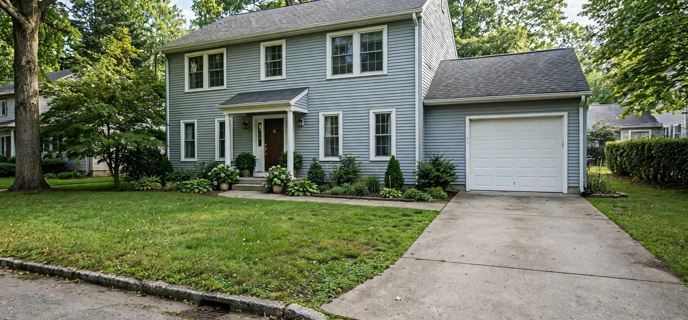
A property eligibility map is the simplest way to answer one of the first questions many rural home buyers ask: does this address qualify for a United States Department of Agriculture (USDA) loan? Rather than guessing from a postcode, a town name, or a general sense of whether an area feels rural, a property eligibility map lets you test a specific address and see whether it sits inside an eligible area. This guide explains how to use a property eligibility map correctly, what an eligible result does and does not prove, and what to check next before you make an offer, arrange a survey, or assume that finance will follow.
It is important to be clear about scope from the start. A property eligibility map checks location only. It does not check your income, your credit history, your debts, or the condition of the property. Those are separate tests, and a home can pass the map test while still failing another part of a loan application. Equally, a home that sits just outside an eligible boundary is not necessarily a poor purchase; it simply means that this particular loan programme is not available for that address. Understanding that distinction saves time, avoids disappointment, and helps you focus your search on homes that genuinely fit both your budget and your borrowing route.
What Is a Property Eligibility Map?
A property eligibility map is an interactive map published by a government agency that shows which areas qualify for a particular housing programme. For USDA loans, the map is based on definitions of rural areas, population limits, and other criteria set out in the programme rules. When you enter an address, the map checks that point against the eligible area boundary and returns a result. The visual element matters: you can zoom out, see where eligible land ends, and understand why one side of a road or one new estate may qualify while a neighbouring development does not.
Boundaries are not drawn by feel. They follow census data, programme rules, and periodic updates. That is why a property eligibility map can change over time. An area that qualified five years ago may no longer qualify after population growth, and an area that was once ineligible may become eligible after a boundary review. Always check the current map for the address you are considering, rather than relying on an old screenshot, a forum post, or a neighbour’s experience. If you are comparing several homes, test each address separately, because eligibility is address-specific, not town-wide.
How to Use a Property Eligibility Map by Address
Using a property eligibility map by address is straightforward, but accuracy depends on entering the address exactly as it is recorded. Start with the full street address, including the house number, street name, town or city, state, and postcode. Avoid abbreviations that could confuse the search, and double-check the spelling of the street name. If the address is new, recently built, or on a rural route, try the postcode plus the street name, and confirm the result by checking the location pin on the map itself.
Once the result appears, read it carefully. An eligible result usually states clearly that the property is in an eligible area. An ineligible result states the opposite. Do not stop at the headline, though. Zoom in and confirm that the pin sits on the correct plot, especially for large rural parcels, properties with long driveways, or homes near a boundary line. If the pin appears to be in the wrong place, adjust it or re-enter the address with more detail. A small placement error near a boundary can produce a misleading answer, and that error is easy to miss if you only read the text result.
A Step-by-Step Check
First, enter the full address and confirm the map pin. Second, note the result in writing, including the date you checked it, because boundaries and programme rules can change. Third, save or print the result if the tool offers that option, so you can share it with a lender or adviser. Fourth, remember that this is only the location test; ask your lender to confirm income limits, loan limits, and property condition requirements separately. Keeping a simple record for each property you view makes comparisons far easier, particularly when you are viewing several homes in different areas.
Understanding Property Eligibility Map Results
An eligible result means the address passes the location test at the time of the check. It does not guarantee a loan, a valuation, or approval. Lenders still assess your finances, the property must meet programme standards, and other conditions may apply. Treat an eligible result as a green light to continue, not as a final approval. If anything about the property changes — for example, if the address is corrected or the plot boundary is redrawn — check again before proceeding.
An ineligible result means the address does not pass the location test for that programme. It does not mean the property is unsuitable, unsafe, or overpriced, and it does not prevent you from buying with a different type of loan. Many buyers in ineligible areas use conventional loans, other government-backed loans, or other finance routes. The practical step is to ask your lender what alternatives fit your circumstances, rather than abandoning a home you otherwise like without exploring those options.
| Map result | What it means | Next step |
|---|---|---|
| Eligible | The address is inside an eligible area on the current map. | Ask a lender to check income, credit, and property requirements. |
| Ineligible | The address is outside the eligible area on the current map. | Explore other loan types with a lender. |
| Unclear or pin misplaced | The address may be new, incomplete, or near a boundary. | Re-enter the full address and verify the pin position. |
| Result changes later | Boundaries or rules have been updated. | Recheck the address and confirm with a lender. |
Common Mistakes When Using a Property Eligibility Map
The most common mistake is checking a town rather than an address. Eligibility can vary street by street, so a town-level search tells you very little about a specific home. Another common error is using a third-party summary instead of the official map. Unofficial maps may be out of date, may use different boundaries, or may simplify the rules in ways that mislead. Where an official portal exists, use it as your primary source and treat other sources as background reading only.
Buyers also sometimes confuse property eligibility with personal eligibility. A property eligibility map answers only the location question. Income limits, household size, credit requirements, debt ratios, and property standards are separate checks, and they can vary by county and household circumstances. Asking a lender for a full eligibility review early in your search is usually more useful than assuming that a map result settles the whole question. For general guidance on checking official addresses and records, see our guide to postal service address checks and our homeowner guide on homeowner solutions.
Property Eligibility Map Checks and Your Next Steps
Once you have a map result you trust, the next steps are practical. First, confirm the result with your lender and ask what documents you will need. Second, check whether the property itself is likely to meet programme standards, including its condition, safety, and any required repairs. Third, consider the wider costs of rural living, such as transport, broadband, utilities, and access to services, because a loan that fits on paper still needs to fit your daily life. A property eligibility map is a starting tool, not a substitute for viewing the home, reading survey findings, and weighing the full cost of ownership.
It is also worth rechecking the map if your purchase takes time. A search conducted months before completion may no longer reflect the current boundary, particularly if a programme update falls in between. A quick recheck before exchange or closing is a sensible habit, and it costs nothing. Keep your notes together: the address checked, the date, the result, and the lender’s advice. That small file can prevent confusion if different parties give you different answers at different stages.
Frequently Asked Questions
Does an eligible map result guarantee a USDA loan?
No. It confirms location only. Income, credit, debts, and property condition are assessed separately by the lender.
Can I check a property eligibility map without sharing personal data?
Yes. A location check needs only the property address. You do not need to provide personal financial details to test whether an address is in an eligible area, and you should be cautious about any unofficial site that asks for sensitive personal information for a simple map lookup.
What should I do if a home is just outside the boundary?
Ask your lender about other loan options. An ineligible result for one programme does not prevent a purchase with different finance, and it says nothing about the quality or value of the home itself.
Conclusion
A property eligibility map is a practical, free starting point for rural home buyers: enter the exact address, verify the pin, record the result and the date, and then confirm the wider loan requirements with a lender. Used that way, it narrows your search efficiently and prevents wasted effort on homes that cannot qualify for the programme you have in mind. Used carelessly — by checking a town instead of an address, or by treating a location result as a loan approval — it can mislead. Check the official map, check each address separately, and let the map guide, rather than decide, your next step. If you are comparing addresses or services, our guide to changing a postal address may also help you keep official records consistent during a move.